Jebel Shams: Oman's highest mountain and its canyon
High mountains in the Hajar · 3 hours' drive from Muscat
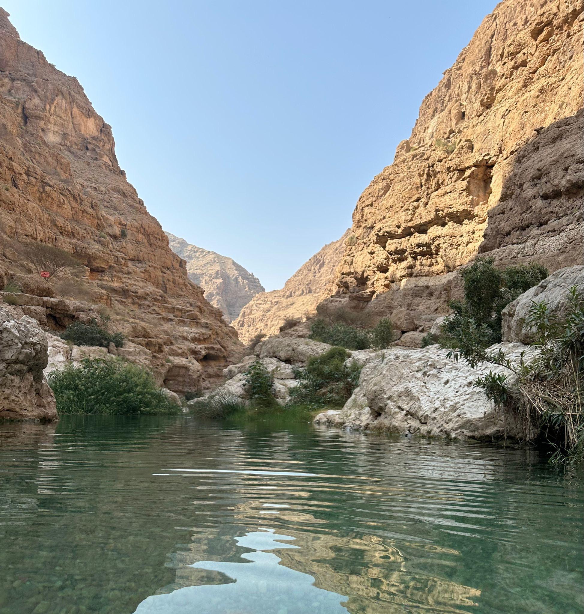
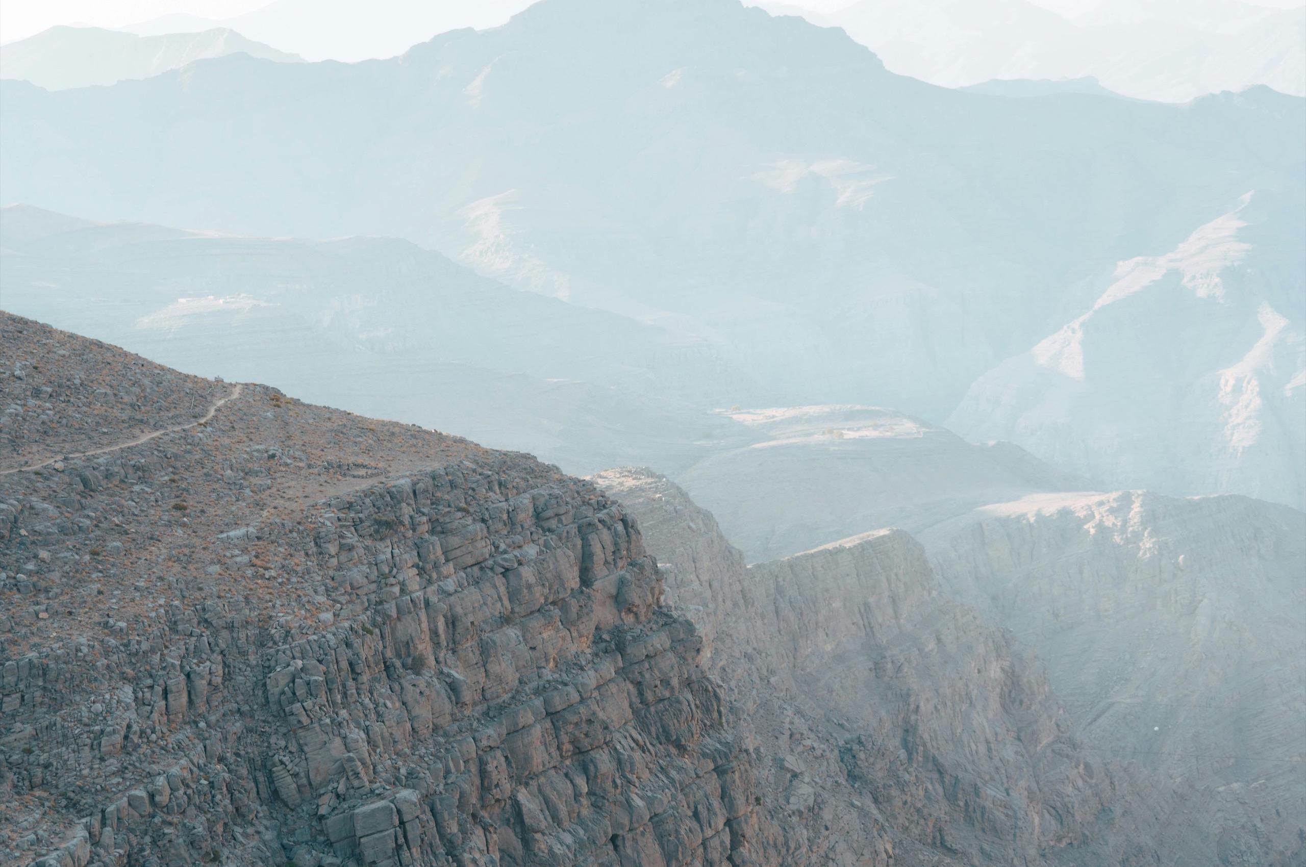
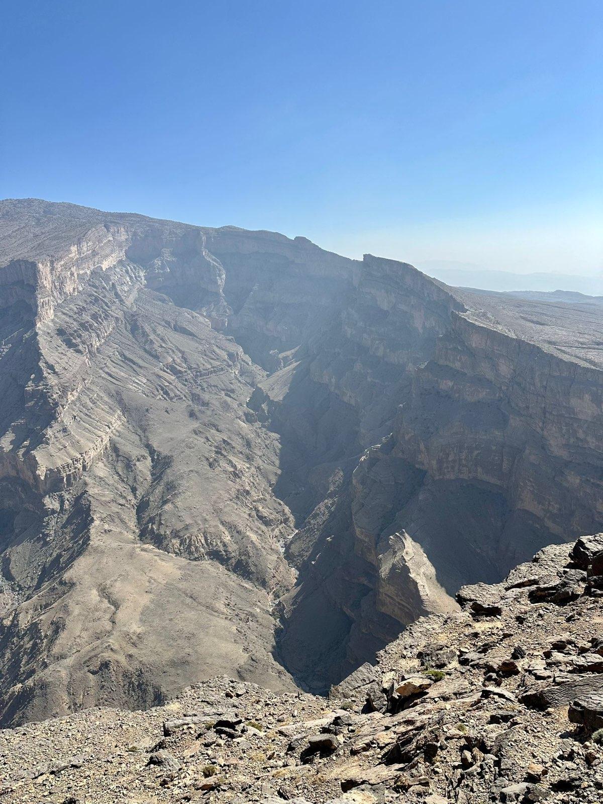
Jebel Shams, the Mountain of the Sun, is at just over 3,000 metres the highest peak in Oman and one of the highest on the Arabian Peninsula. Visitors do not come for the summit, which is a military zone, but for the rim of Wadi Ghul: a canyon about a thousand metres deep known as the Grand Canyon of Arabia. The Balcony Walk along that rim is the best-known hike in the country, and a night on the plateau is one of the strongest experiences of any Oman trip.
Compiled by Lars Janssen · updated October 2026
At a glance
- Region
- Ad Dakhiliyah, Hajar Mountains
- From Muscat
- approx. 240 km, 3 hours; from Nizwa 1.5 hours
- Best time
- October to April
- Length of stay
- 1 night, or a day trip from Nizwa
- Altitude
- summit 3,009 m, viewpoints around 2,000 m
- Don't miss
- Balcony Walk (W6) at sunrise
Free consultation, reply within 24 hours
Why Jebel Shams is so impressive
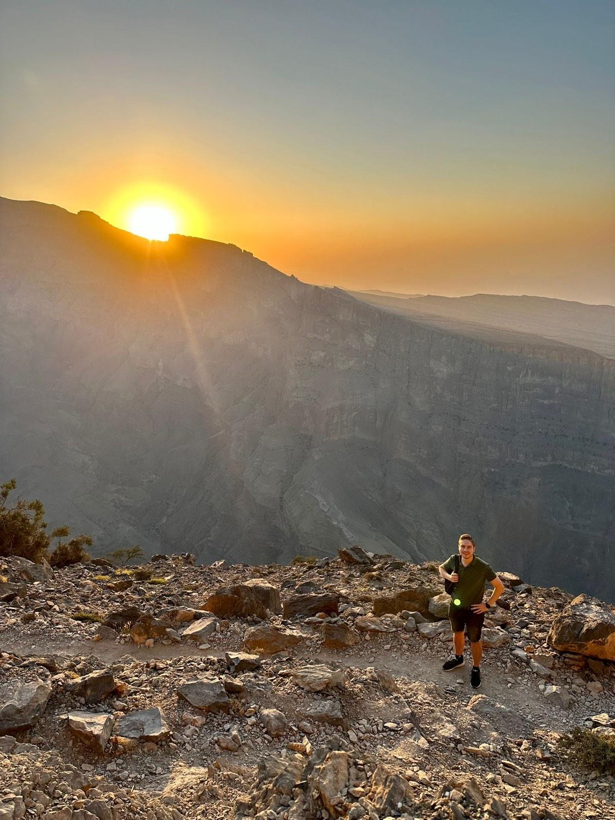
Oman is often summed up as desert and coast, but the Hajar Mountains shape the character of the north at least as much. Jebel Shams is their high point, literally. The road up climbs through a landscape that grows rougher with every bend: mudbrick villages, goats on the road, then bare rock plateaus. At the top, on the rim of Wadi Ghul, the ground falls away. The canyon is about a kilometre deep and several kilometres wide, and far below you can make out the tiny village of Ghul with its palm gardens.
What sets Jebel Shams apart from a viewpoint is the silence. There are no fences, no souvenir shops and hardly any buildings. Stay the night and you watch the canyon change colour at sunset, see a sky full of stars with no light pollution and have the rim almost to yourself at sunrise.
What to do on Jebel Shams
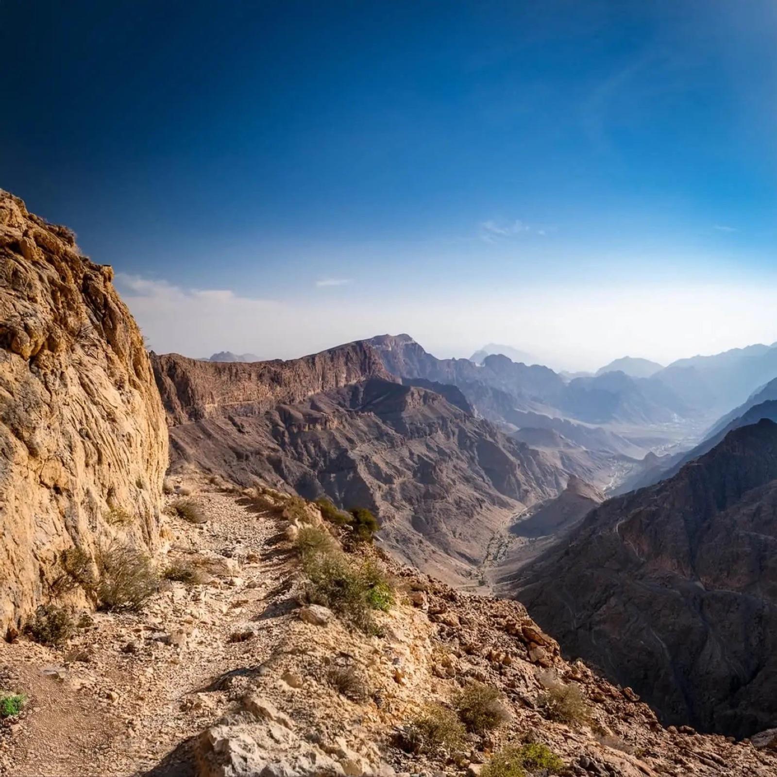
- The Balcony Walk (W6): the best-known hiking trail in Oman. From the hamlet of Al Khitaym you follow the canyon rim to the abandoned village of As Sab, about 3.5 kilometres each way. The path is mostly level and manageable for anyone sure-footed, but it runs along a sheer drop. Allow two and a half to three hours.
- The viewpoints: even without hiking, the rim of Wadi Ghul is a destination in itself. Several spots along the plateau look into the canyon and, on a clear day, far across the range.
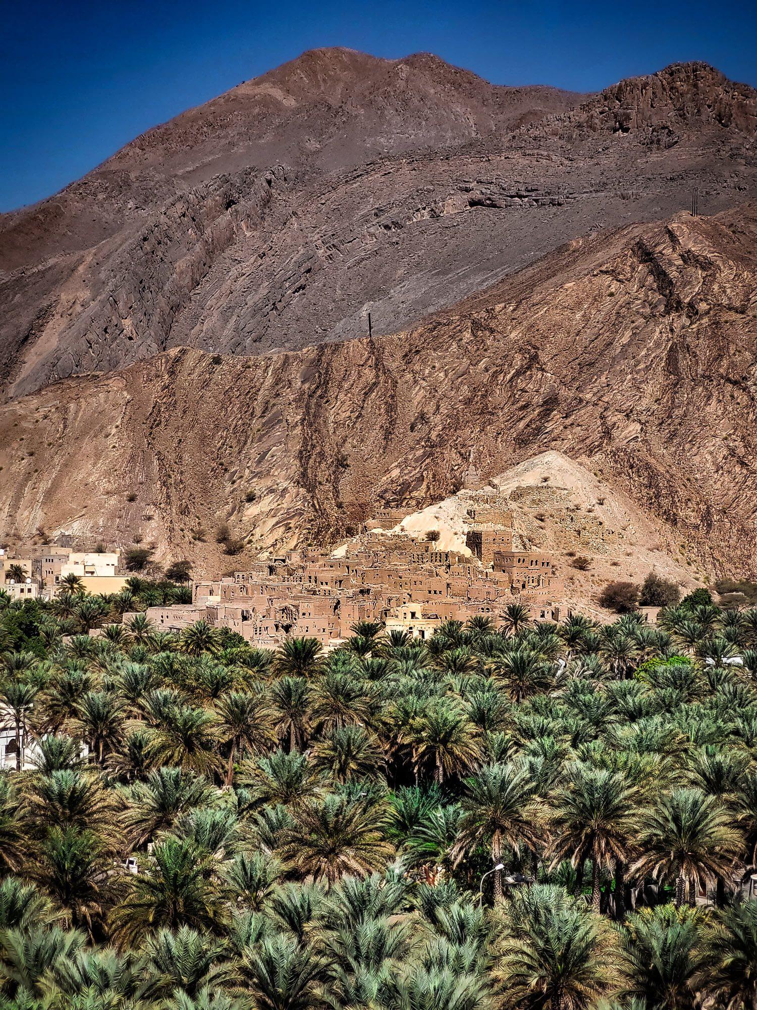
- Al Hamra: one of the oldest inhabited villages in Oman, at the foot of the mountain, with four-hundred-year-old mudbrick houses three and four storeys high. The house museum Bait Al Safah shows how people lived here.
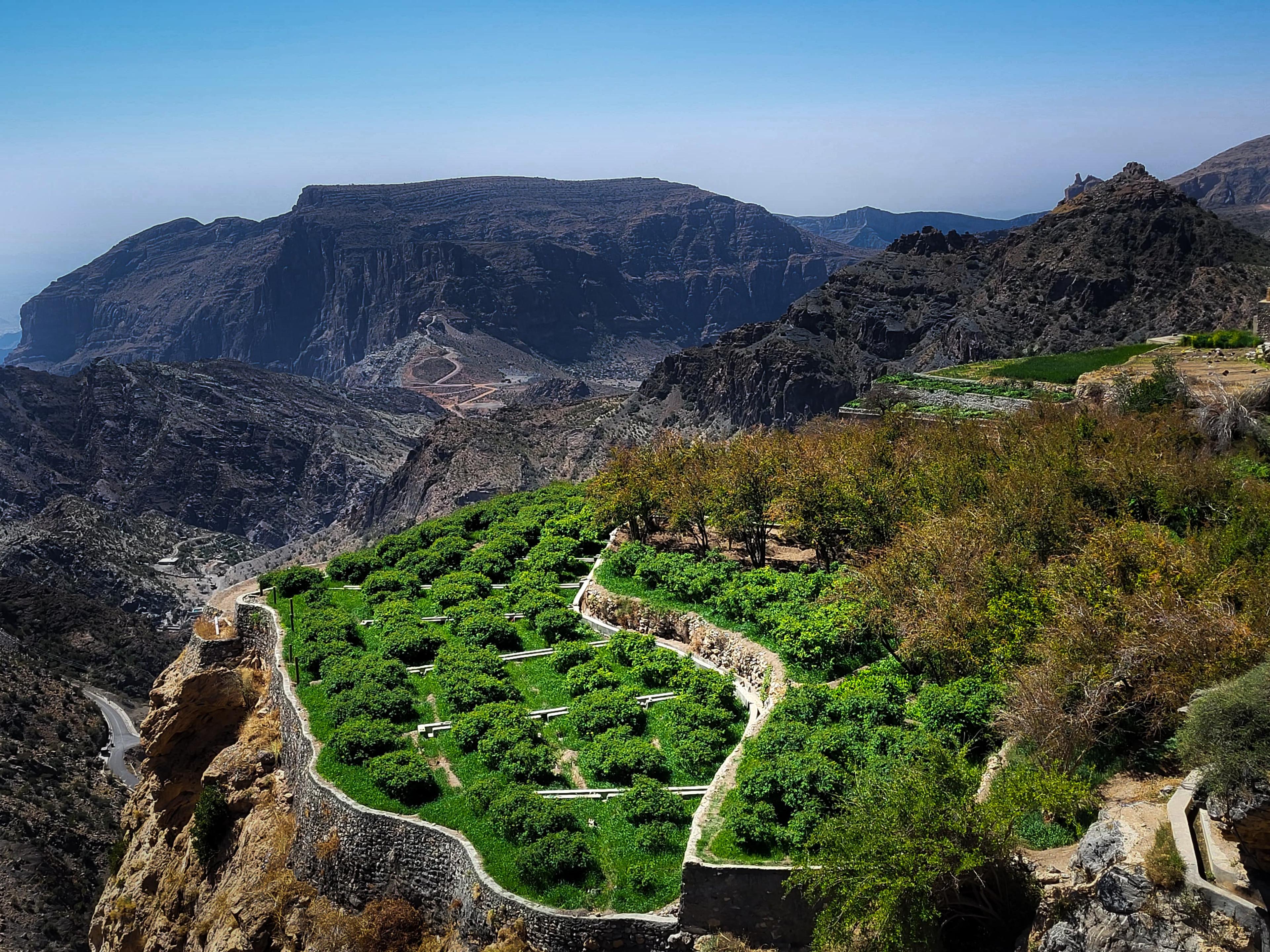
- Misfat al Abriyeen: a mountain village with terraced gardens, banana and date palms and a falaj running through the lanes. A short loop of an hour is enough.
- Wadi Ghul: at the bottom of the canyon, with the ruins of the old village against the rock face. You look straight down onto it from the road up.
Practical information
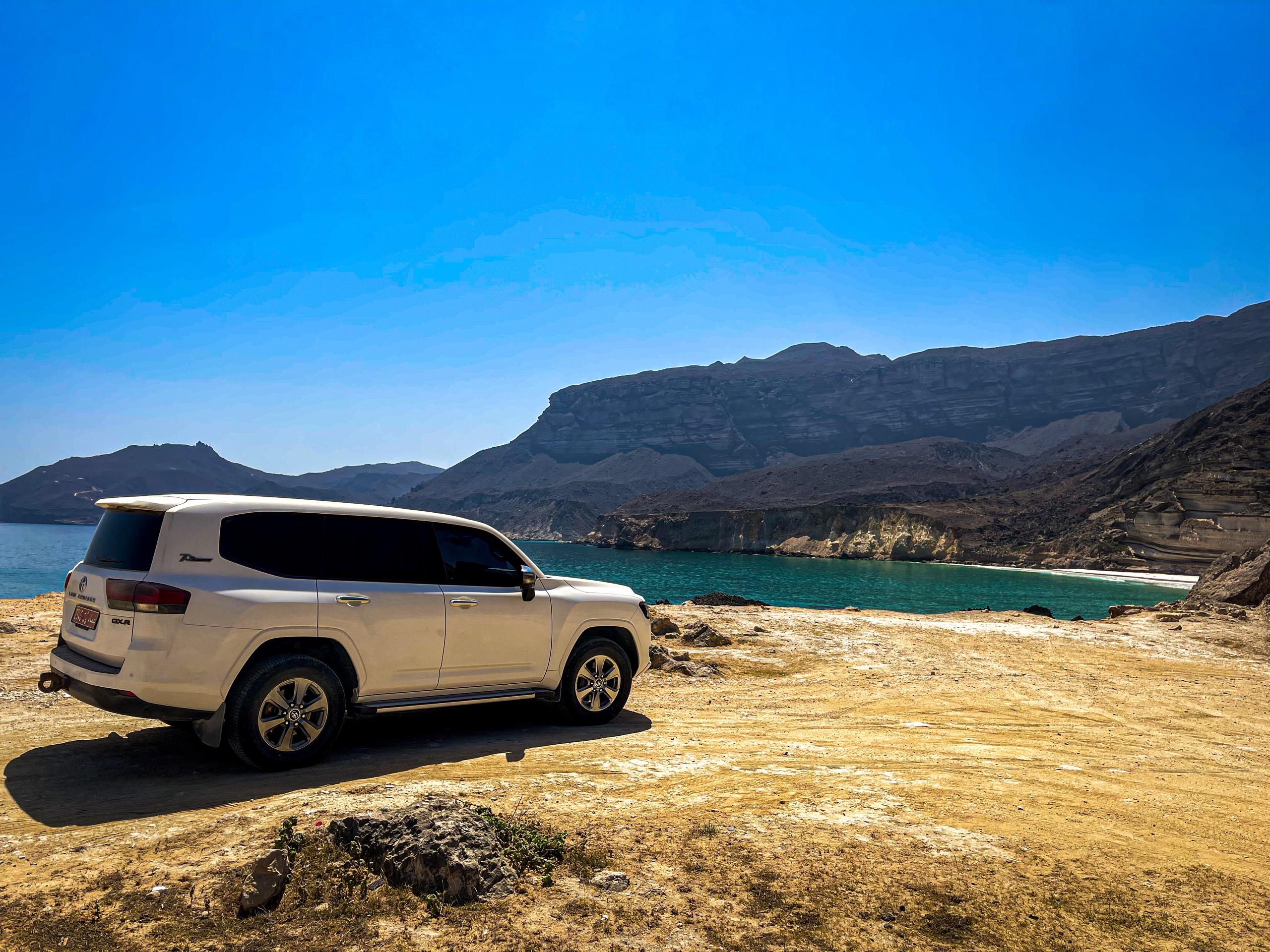
Getting there. From Muscat it is about 240 kilometres and three hours via Nizwa and Al Hamra. From Nizwa, an hour and a half. Most of the road is paved; the final stretch to the plateau is gravel with hairpin bends. A 4x4 is strongly recommended.
Temperature. At 2,000 metres it is ten to fifteen degrees cooler than on the coast. In winter it can drop to around freezing at night, with 15 to 20 degrees by day. Bring a warm layer, a hat and a windproof jacket, even if it is thirty degrees in Muscat. In summer, Jebel Shams is one of the few places in the north that stays pleasant.
Hiking. Sturdy shoes, at least a litre and a half of water per person, sunscreen and a cap. There is no shade on the trail and nowhere to buy water. The path is not suitable for anyone with a fear of heights. Start early, preferably before eight.
Combine with. Nizwa as your base, Misfat al Abriyeen and Al Hamra on the way, and from there on to the Wahiba Sands for the contrast between mountain and dune.
Driving up yourself: a stage-by-stage guide
Most visitors who are not travelling with a driver-guide reach Jebel Shams by rental car, and the final stretch catches first-timers out if nobody has described it to them beforehand. The climb from Nizwa breaks down into four distinct stages, each with its own surface and pace:
| Stage | Distance | Surface | Watch for |
|---|---|---|---|
| Nizwa to Al Hamra | About 25 km | Paved | Last reliable fuel station and shop before the mountain |
| Al Hamra to the checkpoint | About 15 km | Paved, steady climb | Goats and slow trucks on the switchbacks |
| Checkpoint to the plateau | About 17 km | Graded gravel, hairpin bends | 4x4 required, no barrier on the outer edge of several bends |
| Plateau to the Balcony Walk car park | A few hundred metres | Gravel | Limited parking at peak times around sunrise and sunset |
A short checklist before you leave Nizwa or Al Hamra makes the climb far less stressful:
- Fill the tank in Al Hamra. There is nothing resembling a fuel station beyond this point, and a 4x4 uses noticeably more fuel on the gravel climb.
- Switch into 4x4/low range before the gravel starts, not partway up; stopping on the loose surface to fiddle with the drivetrain is awkward on a slope.
- Download offline maps (Google Maps offline areas or Maps.me) before you lose signal around Al Hamra; coverage on the plateau itself is patchy at best.
- Time the climb so you are not on the gravel after dark. There are no streetlights, the turns are poorly marked at night, and oncoming traffic is easy to miss on the bends.
- Carry more water than you think you need. There is no shop on the plateau, and lodges cater for booked guests, not walk-ins.
- Confirm dinner with your lodge in advance. Kitchens on the plateau work from a short, fixed menu and plan quantities around confirmed bookings.
- Ask your rental company specifically about the Jebel Shams road before you set off. As with the Jebel Akhdar checkpoint, the rental terms decide what is and is not covered, not the law, so a 4x4 booking alone is not automatically the same as cover for this gravel climb.
If this is the first time you are driving a 4x4 on a gravel mountain road, go slowly and keep well back from the edge on the outer side of each bend; locals who drive the route daily will overtake, and there is no need to match their pace. On the way down, drop into a lower gear on the steepest sections rather than riding the brakes the whole way, which overheats the brakes on a gravel surface far faster than on tarmac.
This drive is also one leg of our 14-day Oman itinerary for self-drive travellers, and the mountain stop on our 14-day Oman tour, where a driver-guide takes over this stretch if you would rather not do it yourself.